 Clayground
Annapurna in clay
Raising the ground…
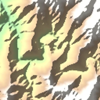 Machu PicchuPeru
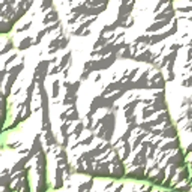 AconcaguaArgentina
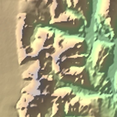 Fitz RoyArgentina and Chile
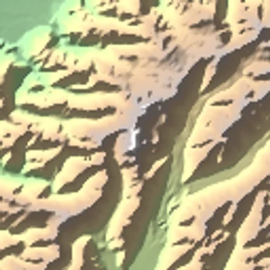 Aoraki Mount CookNew Zealand
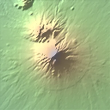 Mount TaranakiNew Zealand
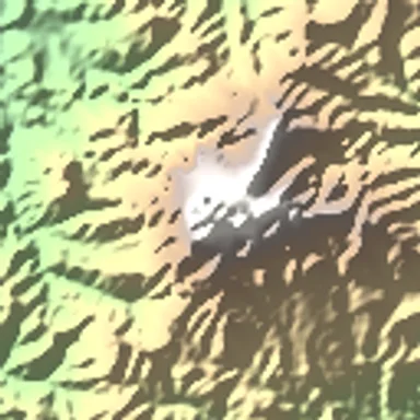 Mount KinabaluMalaysia
Terrain data credits
- ArcticDEM terrain data DEM(s) were created from DigitalGlobe, Inc., imagery and funded under National Science Foundation awards 1043681, 1559691, and 1542736.
- Australia terrain data © Commonwealth of Australia (Geoscience Australia) 2017.
- Austria terrain data © offene Daten Österreichs, Digitales Geländemodell (DGM) Österreich.
- Canada terrain data contains information licensed under the Open Government Licence, Canada.
- Europe terrain data produced using Copernicus data and information funded by the European Union, EU-DEM layers.
- Global ETOPO1 terrain data U.S. National Oceanic and Atmospheric Administration.
- Mexico terrain data source: INEGI, Continental relief, 2016.
- New Zealand terrain data Copyright 2011 Crown copyright (c) Land Information New Zealand and the New Zealand Government. All rights reserved.
- Norway terrain data © Kartverket.
- United Kingdom terrain data © Environment Agency copyright and/or database right 2015. All rights reserved.
- United States 3DEP (formerly NED) and global GMTED2010 and SRTM terrain data courtesy of the U.S. Geological Survey.